Published September 25, 2024 | Updated May 5, 2026
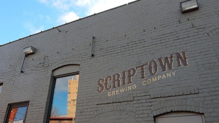
Omaha has often been criticized for its aggressive annexation of surrounding communities, including Florence, South Omaha, Benson, and Dundee, not to mention Millard and Elkhorn. Today we go back to where it all started: the annexation of Scriptown.

When Omaha City was incorporated in 1854, the first plat divided the area into 320 blocks. By 1855, the land north and west of the original plat was purchased by the Omaha Land Company. They were a private company owned by several prominent businessmen who helped found the city. They also included representatives from the Council Bluffs and Nebraska Ferry Company, which was critical in getting people across the Missouri River and into the city. Most people involved in the company were from Council Bluffs, which predated Omaha.

The area got its name from scrip, the only currency available in the territory at the time, which was used to purchase the land. It was essentially a bribe awarded to legislators who supported Omaha’s efforts to become the permanent territorial capital. The scrip represented promises of lots in an area that would eventually become part of Omaha proper.

When Nebraska’s Acting Governor Thomas Cuming declared that Omaha would be the site of the first meeting for the new legislature, it proved controversial, as other towns including Florence, Bellevue, and Nebraska City felt they should become the territorial capital. The bribe worked, and Omaha was officially named the capital on February 22, 1855. It remained as such until 1867, when it was moved to Lincoln.

Scriptown was first surveyed by Lorin Miller, who would later become Omaha’s mayor from 1865 to 1867. His measurements placed the area of Scriptown from Cuming Street on the south, Fort Street on the north, 16th Street on the east, and 24th Street on the west. Its northern border adjoined the town of Saratoga. Due to land disputes, the plat was left off of regular maps. These lots included Harbach’s, E.V. Smith’s, Denise’s, Paulson’s, Lake’s, and Foster’s Additions.

The area was quickly divided into lots that were slightly smaller than the original lots and sold to developers, with each of the supporters earning a tidy profit. The lots were quickly developed, and soon the area outside of downtown Omaha contained a number of grand Victorian homes owned by prominent white residents, like the bankers and politicians who received the scrip.

As Omaha continued to grow, it asserted itself with the annexation of Scriptown in 1877. Lots that once sold for $15 were now selling for $150. Just ten years later, those lots were among the most desirable in the city, selling for as much as $3,500 each. Many of the founding fathers made a fortune in the process.
Please feel free to comment to share your thoughts.
Until next time, keep exploring!
More pictures


Thomas Cuming is on the left and Lorin Miller is on the right. Cuming was Nebraska’s Territorial Governor and Lorin Miller was the surveyor of Scriptown and would later become Omaha’s mayor.
Omaha Exploration is sponsored by

Click here to contact me if you’re interested in sponsoring OE.
Get email notifications when new OE content is posted
Follow OE on the socials
Omaha Exploration, 2024. Unauthorized use and/or duplication of this material without express and written permission from this site’s author and/or owner is strictly prohibited. Excerpts and links can be used, if full and clear credit is given to Omaha Exploration with appropriate and specific direction to the original content.
Leave a Reply