
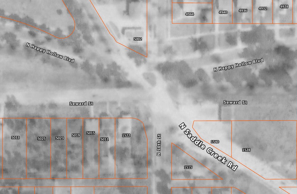
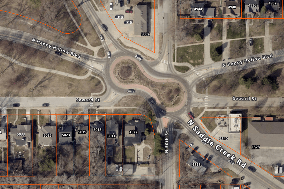
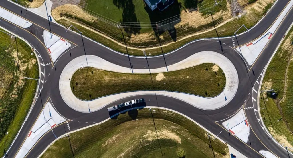
Those of you familiar with longtime midtown businesses including Janousek Florist, Sgt. Peffer’s and Homy Inn have no doubt experience “the peanut” intersection. If not, its an eight-way peanutabout where Saddle Creek Road, Happy Hollow Boulevard, Country Club Plaza, Seward and 50th Streets all converge.
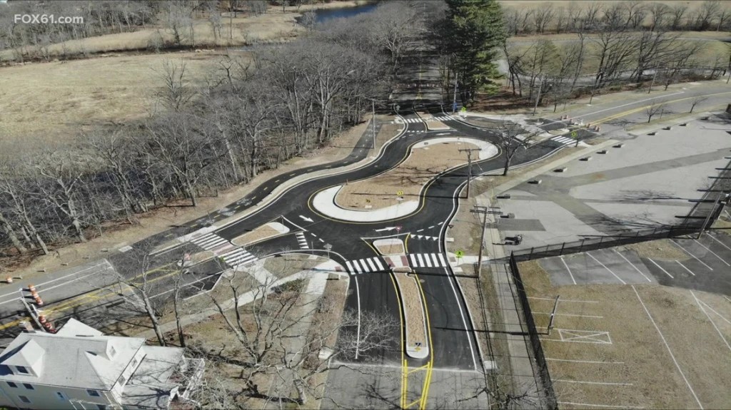
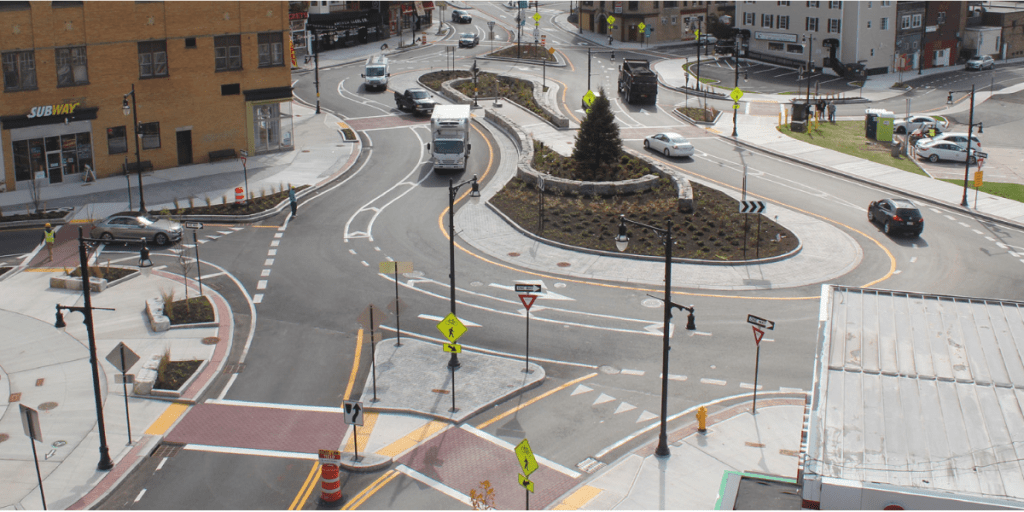
Peanutabouts are formed when curving streets intersect with a more traditional street grid resulting in some unusual intersections. Omaha isn’t the only city with a peanutabout as they can also be found in cities including Los Angeles, Miami, Boise, Cleveland and Indianapolis.
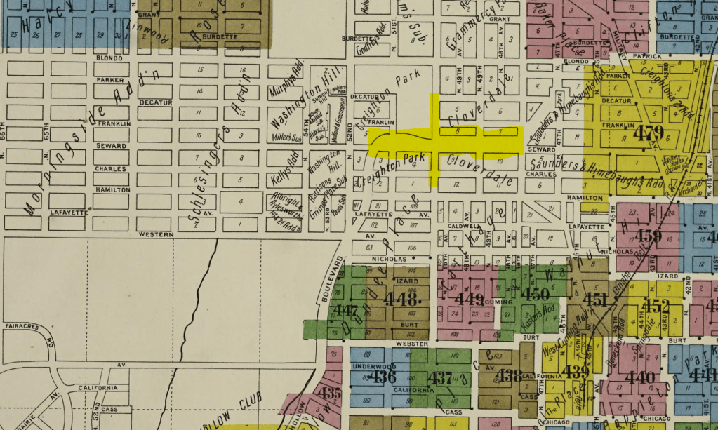
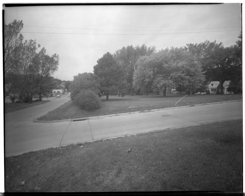
One of the intersecting streets, Happy Hollow was created as a part of the city’s boulevard system which the city started building in the 1890s to connect its parks, provide landscaped medians, variety and interest to the motorists that traversed them. Happy Hollow would end up intersecting Seward and 50th Streets and while it was a bit weird by 1918, it was essentially a four-way intersection.
Things really got wild after the Omaha Country Club relocated to its current location thereby creating what is not the Country Club Historic District and Country Club Avenue which cuts southeast from 51st and Parker Street where it later intersected not only Happy Hollow, 50th and Seward but also Saddle Creek which continued further southeast before running into Northwest Radial Highway.
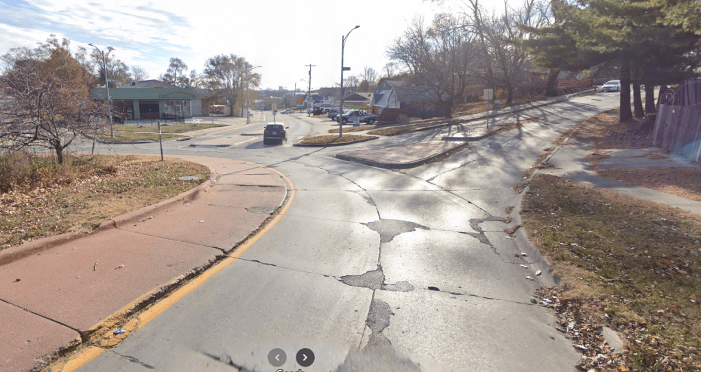
As traffic increased and the situation worsened, the city was looking for a way to slow motorists down and to make what was once referred to as the city’s angriest intersection safer. The plan drew some criticism early on as area business owners Sgt. Peffer’s and Janousek Florist feared the construction times would hinder business, not to mention the loss of parking on the city right-of-way which they had used for years. Other concerns included property losses, narrowed roads and reduced access.
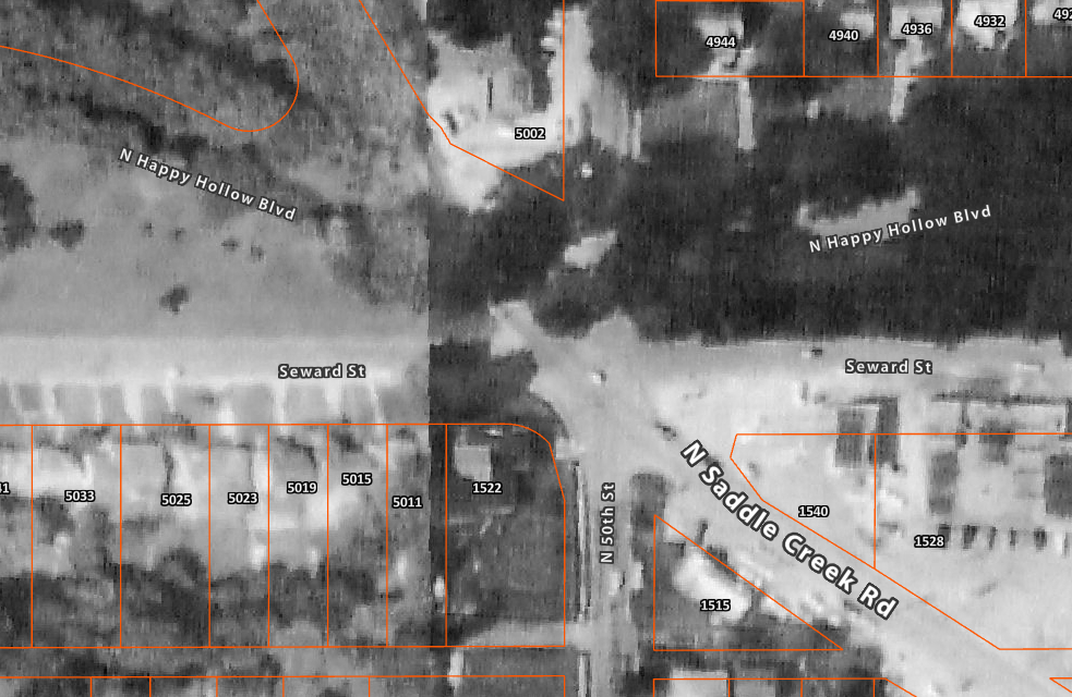
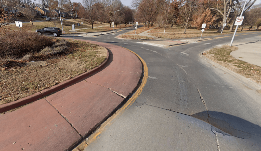
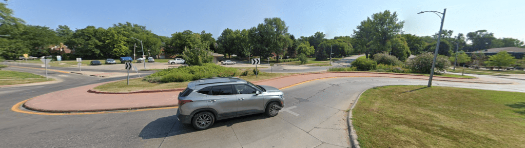
Construction of the peanutabout finished in 2004 and proved successful as it caused drivers to become more alert and pay closer attention. By 2009 the median area was filled with weeds resulting in residents initiating a beautification project called “Plant the Peanut”. As the gateway to the Metcalfe neighborhood, they planted a colorful mix of trees, shrubs and native grasses.
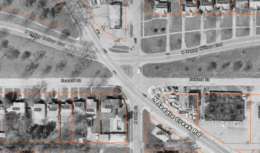
Over time, the area was neglected by the city causing streets, sidewalks and curbs to crumble and some lots were vacated. Plans were announced in 2023 to remedy the situation in a five a block area stretching along Saddle Creek from Hamilton Street to the peanut. Other improvements include planting trees and green space, widening sidewalks to allow for pedestrians and cyclists and installing benches.
The consensus seems to be that with the right investment in public infrastructure, the area with its own unique character in addition to established businesses like Homy Inn, Sgt. Peffer’s and Janousek Florist, it will spur further development and turn it into a destination rather than a neighborhood in which motorists pass thru to get to other places like Dundee and Country Club.
What are your experiences with the peanut? Do you love it or hate it and why? I’d like to hear what you have to say so please feel free to comment. Until next time, keep exploring!
More pictures
Follow OE on Facebook for more
Get an email when new content is posted
Click here to learn about opportunities to sponsor Omaha Exploration!
Omaha Exploration, 2024. Unauthorized use and/or duplication of this material without express and written permission from this site’s author and/or owner is strictly prohibited. Excerpts and links can be used, if full and clear credit is given to Omaha Exploration with appropriate and specific direction to the original content.
Omaha Exploration proudly supports

Contact me to learn more about M4K!
Omaha Exploration is sponsored by

Click here to contact me if you’re interested in sponsoring

Leave a comment