Published June 13, 2024 | Updated June 18, 2026
Formed by prehistoric flooding of the Missouri River, the DeSoto National Wildlife Refuge is best known for being the site of spectacular flights of geese and ducks due to its location along the flyway.
Named after Spanish explorer Hernando de Soto, its path along the traditional flyway started after the last ice age. Given that was around 20,000 years ago, it’s safe to say it’s been that way for a while.

Among the first documented expeditions into this part of the river valley took place when Lewis and Clark trekked through the area seeking a navigable water route to the Pacific. The duo kept a journal with an entry dated August 3, 1804 that described a meeting with Native Americans at the “council-bluff,” which is the name adopted by the city across the river. The party left in the afternoon and camped five miles upstream. The Missouri River has since changed its channel many times making the exact location difficult to pin down but is believed to have occurred at a river bend called DeSoto Bend.

In the heart of DeSoto is a seven-mile long lake that once served as a hazardous bend in the river. Despite the risk, it became a major artery for trade by the mid-1800s. Steamboats carried supplies to fur trading posts, frontier settlements, and mining towns. More than 800 steamboats sank along the route between St. Louis and Fort Benton, Montana during the 19th and 20th centuries.

Most famously, the Bertrand steamboat sank after it hit a submerged log while traveling to the Montana Territory in 1865. The wreckage was quickly covered in mud which created a time capsule of Civil War-era material. The boat and its cargo weren’t discovered until more than 100 years later in 1968. At that time, more than 500,000 items were excavated from beneath 30 feet of mud. It contained items needed for a new territory’s gold mines, logging camps, farms, and households. This included staples such as tools, equipment, food, and clothing. So thoroughly encased in mud, many of the items were reported to be in excellent condition. Divers working on behalf of the insurance company removed most of the mercury and other valuables soon after it sank. The Bertrand has since been listed on the National Register of Historic Places. The hull remains buried in a pond that is open to the public.

The Missouri River Valley has seen many changes since the area was settled in the early 1800s. Among them were land clearing projects, drainage projects, channelization of the river, and flood control have transformed the floodplain from what Lewis and Clark identified as a diverse wildlife habitat to farmland.

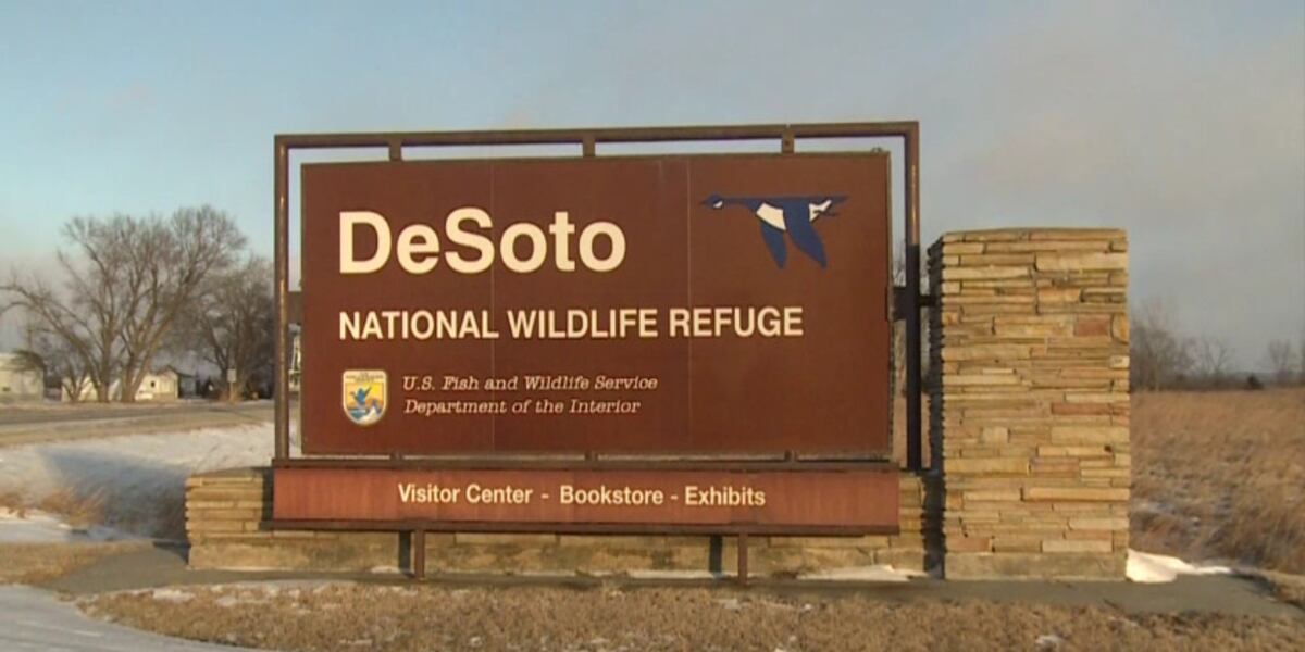
The DeSoto National Wildlife Refuge was established in 1958 to preserve and restore the scarce habitat for migratory waterfowl and other wildlife. Its primary purpose is to serve as an important stop-over for the ducks and geese that migrate each season. The area sees approximately 550,000 snow geese that use it as a feeding and rest area during their fall migration from the Arctic nesting grounds to the Gulf Coast where they winter. In addition, it sees around 50,000 ducks, mostly mallards, during their fall migration. The peak migration months are October and November with a small number returning in March and April. Bald eagles also follow the geese into the area and stay through the winter until March. Other animals including white-tailed deer, cottontails, raccoons, coyotes, opossums, and fox squirrels can be seen in the area. The backwater areas and wetlands provide habitat for beaver, muskrat, and mink while the woods, prairie grass, and hedges attract songbirds, turkeys, pheasants, and quail. Abundant wildlife indeed.

Changes continued in 1959 when a shorter route was created through the bend to improve navigation, followed by the U.S. Army Corps of Engineers completing the DeSoto Bend Cut-off project a year later. From that project, the lake was formed and the Missouri River was straightened out creating its current path. The efforts proved successful with more than 1,500 acres of land being restored to grassland since 1965. In total, the refuge consists of 8,365 acres of land which today includes a number of trails in addition to opportunities to fish, boat, hunt, or pick mushrooms.
Also managed by the DeSoto staff is the Boyer Chute National Wildlife Refuge. Named for the chute that crosses through the middle of the refuge, it is located a mile south of the river near Fort Calhoun. The channel was blocked in 1937 to aid riverboat navigation and later restored. As with DeSoto, many species of wildlife that historically utilized this area have since returned. Boyer Chute provides visitors with hiking trails that allow for bird watching.

Home to one of the premier Civil War-era museum collections including the cargo from the Bertrand, it continues to be used for hiking, boating, kayaking, canoeing, fishing, and hunting. Its most popular draw is watching the waterfowl, birds, and bald eagles sweep across the flyway during migration.
Please feel free to comment to share your thoughts and memories.
Until next time, keep exploring!
Bonus pics


Subscribe
Type your email address below to be notified when a new story is posted.
Sources
- Omaha World-Herald archives
- https://www.fws.gov/refuge/desoto/about-us
- https://theclio.com/entry/89478
- https://en.wikipedia.org/wiki/DeSoto_National_Wildlife_Refuge
- https://www.nps.gov/places/desoto-and-boyer-chute-national-wildlife-refuges.htm
- https://shipwrecks.com/the-steamboat-bertrand/
- http://npshistory.com/brochures/nwr/desoto.pdf
Leave a Reply