Long before the VA Medical Center and the Field Club of Omaha, the area around 42nd and Center Streets was home to the Douglas County Poor Farm. On its grounds stood the Douglas County Hospital, a unique medical facility designed to care for patients suffering from tuberculosis.
The city acquired 160 acres of land in 1859 to establish the poor farm, which had previously been located farther east along St. Mary’s Avenue. Government-subsidized poor farms were common across the country, providing the poor with a place to live and work, along with food, clothing, and medical care. The farm stretched from Pacific Street on the north to Center Street on the south, and from 36th Street on the east to approximately 46th Street on the west.
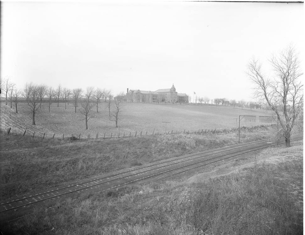
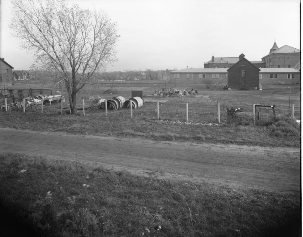
Tracks for the Omaha Belt Line ran through the center of the property. On the eastern end was the poor farm cemetery, often called a potter’s field. Constructed in 1888, the original hospital focused on treating tuberculosis, plagues, and psychiatric patients. Over time, overcrowding and structural problems made a new facility necessary.
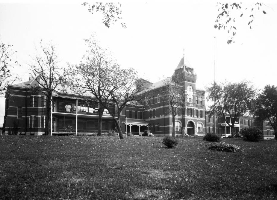
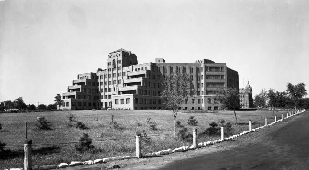
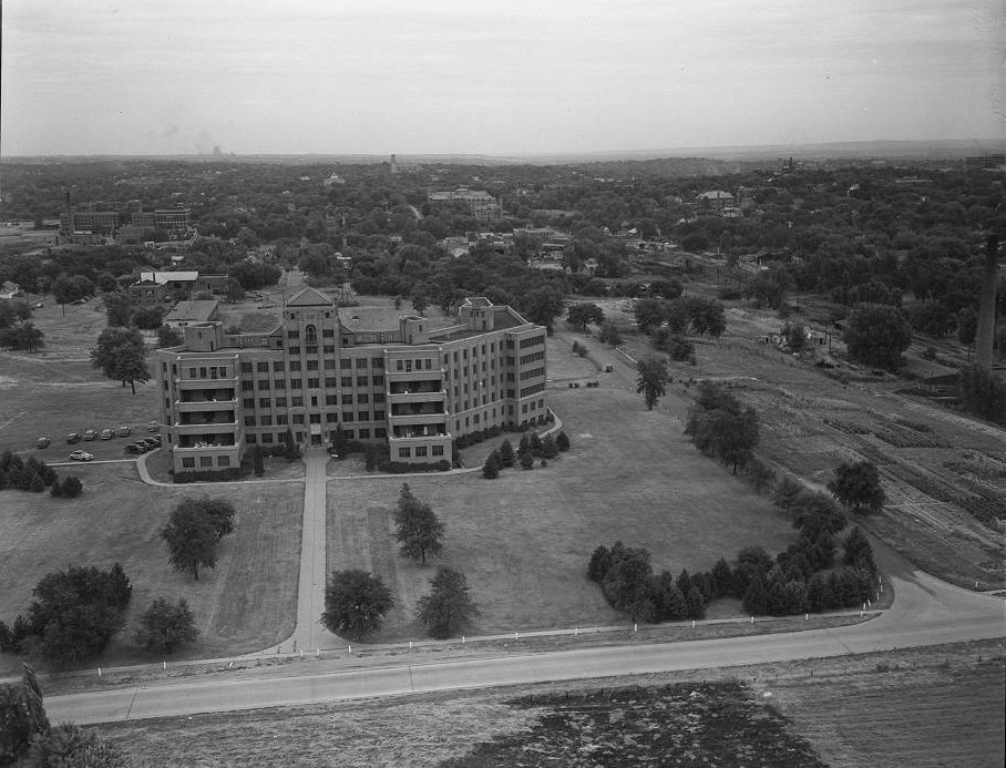
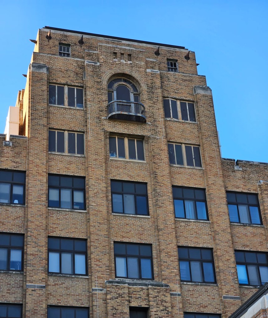
Completed in 1932, the new hospital was designed by John Latenser & Sons Architects. Its southern façade facing Woolworth Avenue featured open-air sun porches and a staggered, stepped plan along the elevations. By this time, the poor farm had ceased operations, and the property had shrunk from 160 acres to just 40.
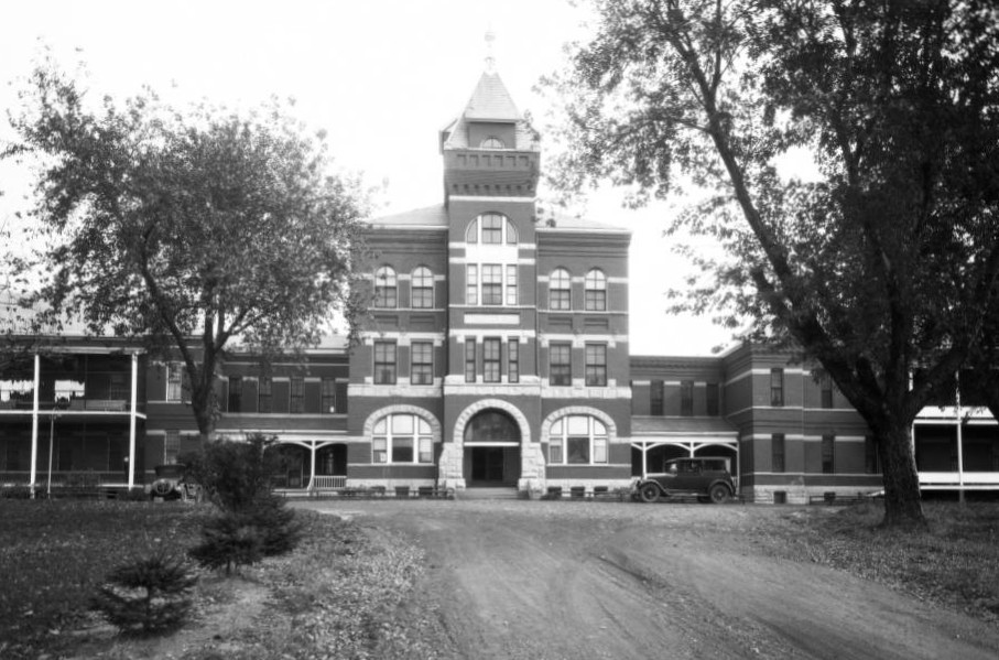
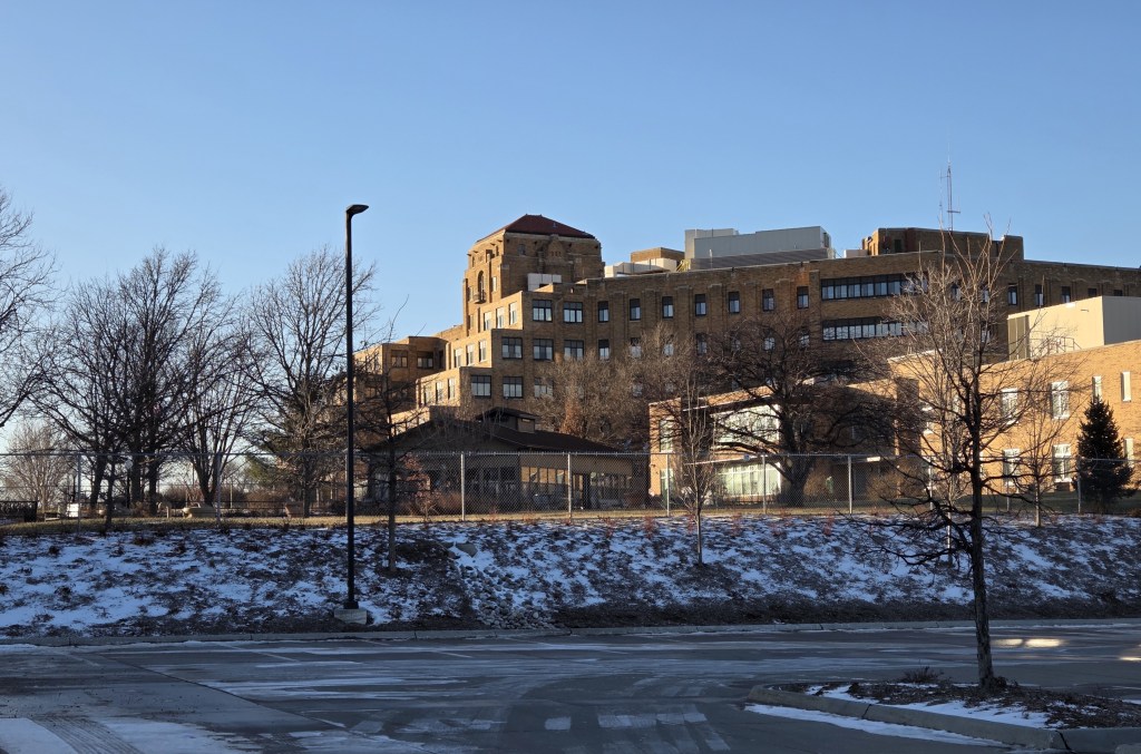
Although the new hospital was larger than the original, only two of the planned three wings were built due to the Great Depression. With 250 beds, one wing treated tuberculosis patients, while the other focused on psychiatric care. The hospital also included space for obstetrics and sick children. Upper floors served as sleeping quarters for physicians and medical residents, while operating rooms, a laboratory, and an X-ray center intended for the third wing were accommodated elsewhere in the building.
By the time the original hospital was demolished in 1947, the role of the newer facility was already changing. Advancements in medical care had eliminated the need for a tuberculosis ward, and the open-air porches were enclosed to provide additional beds.
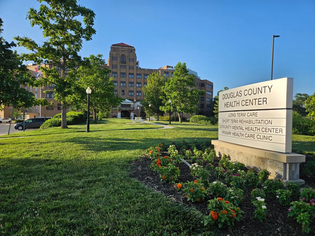
The hospital later became home to the Nebraska Psychiatric Unit, a partnership between the State of Nebraska and the University of Nebraska College of Medicine. After a major expansion in 1960, the facility stopped providing hospital services in 1976 and was renamed the Douglas County Health Center.
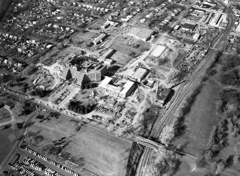
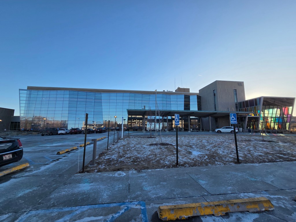
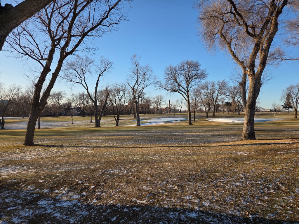
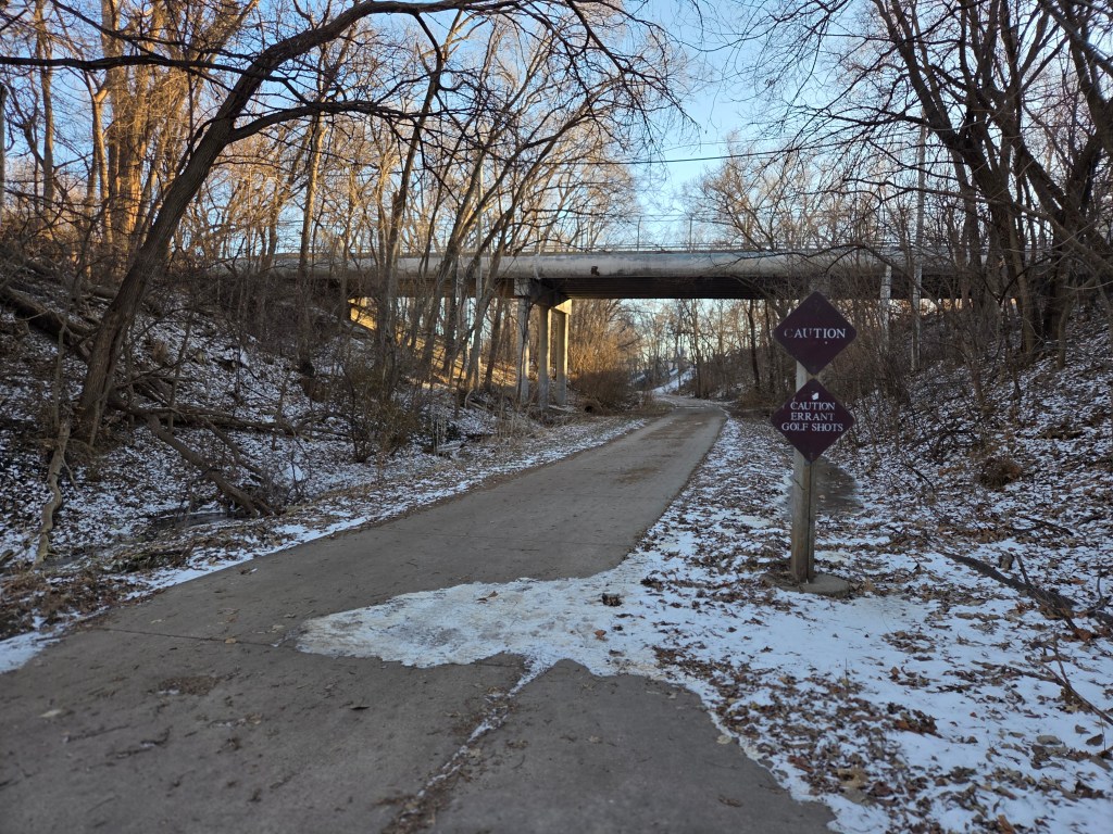
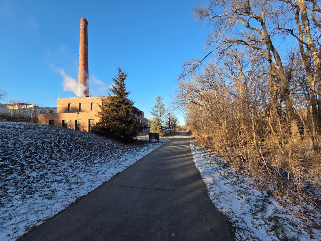
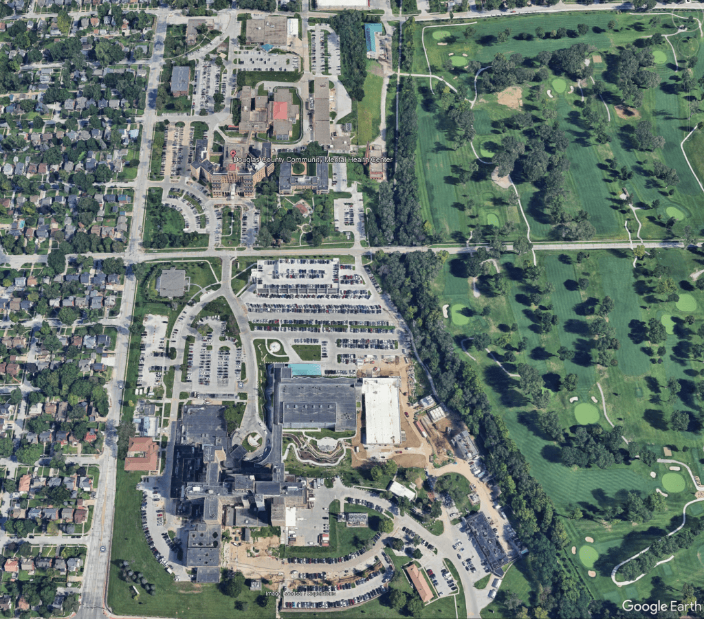
Of the original 160 acres, the land is now divided among Douglas County Health, the Douglas County Youth Center, and the Nebraska Department of Health, as well as the Omaha VA Medical Center and the Field Club of Omaha. The tracks of the former Omaha Belt Line have been converted into the popular Field Club Trail, offering a visible link to the property’s past.
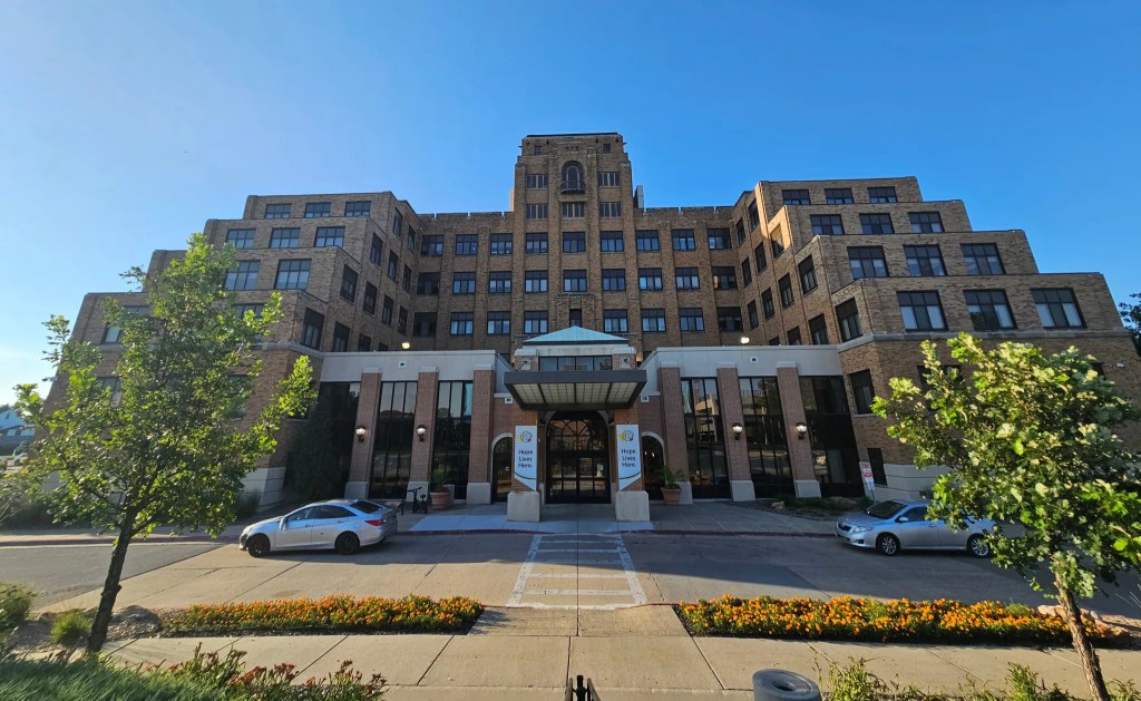
Today, little remains to suggest the land’s origins as a poor farm and tuberculosis hospital. Its purpose, however, has endured—evolving from sheltering the county’s most vulnerable residents to supporting modern public health services that meet the community’s needs.
Content written by Omaha Exploration. If you enjoy my content, you can follow or subscribe on my Facebook page, signup to receive emails or make a donation on my website. Thank you and until next time, keep exploring!
Article Featured on Grow Omaha: Local History by Omaha Exploration | Grow Omaha
Omaha Exploration is sponsored by @Rockbrook Mortgage Inc.

Click the logo to learn more
Click here to learn about opportunities to sponsor Omaha Exploration!
More pictures

Follow OE on social media!
Get an email when new content is posted
Omaha Exploration, 2025. Unauthorized use and/or duplication of this material without express and written permission from this site’s author and/or owner is strictly prohibited. Excerpts and links can be used, if full and clear credit is given to Omaha Exploration with appropriate and specific direction to the original content.
Omaha Exploration proudly supports

Contact me or click the logo to learn more

Leave a comment